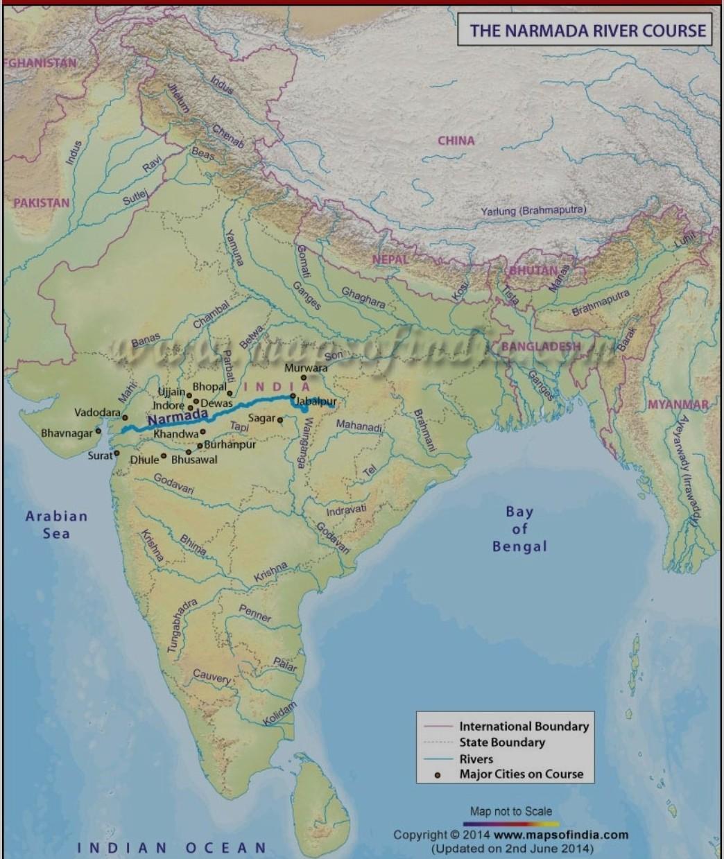
mark river Narmada on the physical map of India and show it drains into
Answers 1
Arabian Sea
Narmada rises from Amarkantak Plateau in Anuppur district Madhya Pradesh. It forms the traditional boundary between North India and South India and flows westwards over a length of 1,312 km (815.2 mi) before draining through the Gulf of Khambhat into the Arabian Sea, 30 km (18.6 mi) west of Bharuch city of Gujarat.
[tex] \\ \\ [/tex]

-
Author:
tyler158
-
Rate an answer:
11
If you know the answer add it here!
Choose a language and a region
How much to ban the user?
1 hour
1 day
100 years

